Introduction:
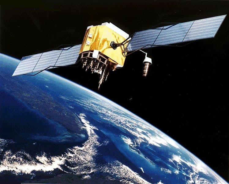
GPS stands for Global Positioning System. GPS consists of a network of satellites orbiting the earth. These satellites constantly broadcast their locations. GPS receivers in navigation devices need 3 to 8 satellites to accurately determine the position and (driving) direction on earth to within a meter.a0

Positioning:
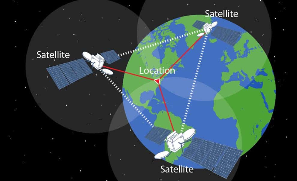
For positioning, 24 satellites are used that orbit the earth at an altitude of approximately 20,000 km. The positions of the satellites are determined such that at least five satellites cover the same point on earth simultaneously.
With a minimum of three satellites, a three-dimensional space can be calculated if we know the distance between three fixed points. Positioning is conducted by calculating the time between sending and receiving signals. We can calculate the distance between the receiver and each satellite by multiplying the time by the speed of light (300,000 km per second). When we do this with at least three satellites, we can draw imaginary lines to a common point. A fourth satellite increases the accuracy of the positioning.

The position is displayed by the receiver in longitude and latitude degrees.a0The equator is at 0b0 and the poles at 90b0. The lines of longitude (meridians) connect the poles. Meridians are imaginary lines over the earth:
- perpendicular to the equator;
- from pole to pole.
- up to 60 minutes (‘)
- and a minute into up to 60 seconds (\”).
Together with the position in degrees relative to the equator (latitude) and optionally the altitude, any location on earth can be indicated.

In Amsterdam, the following position is determined by the GPS receivera0:
- Number of satellites: 4
- N: 52b022’02.8″
- E: 4b053’48.7″
- S: 28b021’15.5″
- E: 23b053’13.0″
- S: 4b051’56.4″
- W: 51b057’27.7″
Navigation System:
Longitude and latitude lines are depicted on land and road maps. The geographic location of every place is known. Once the GPS receiver in the car knows the current position, it can be compared with the coordinates of the road map.
The direction of travel and the distance to the destination are calculated using satellites and displayed on the car’s display.
Example: we want to drive from Dordrecht (South Holland) to Paris.
The coordinates are as follows:
- Dordrecht: 51b048’33.2″N 4b038’53.0″E
- Paris: 48b051’16.8″N 2b020’52.0″E


Based on the coordinates, the location of the destination and the distance are calculated. From the information in the previous paragraph, we can say the following about the coordinates:
- From 51 degrees north to 48 degrees. This is closer to the equator, so the route heads south;
- From 4 degrees east to 2 degrees: this is closer to the prime meridian, so the route heads west.a0
The software in the navigation computer calculates the most logical route based on the road map. It considers factors such as unpaved roads, toll roads, ferry services, etc. When the system is connected to the internet, the software also takes traffic conditions into account. If there is a delay on the most logical (standard) route, an alternative route is offered. This could be a route with a greater distance, but due to favorable traffic conditions, it might still be a quicker route.